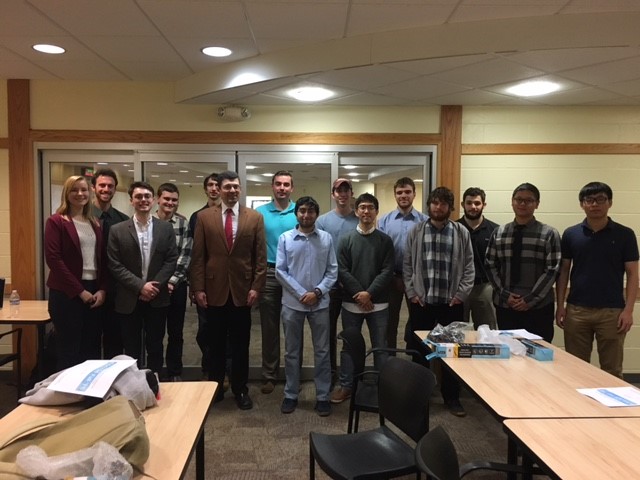
Professor Eli Tilevich provided a great opportunity for students in his CS 4704 capstone course this fall. Dr. Tilevich partnered with The MITRE Corporation, a member company of the department’s Computer Science Resources Consortium (CSRC) program. The MITRE Corporation sponsored the course this fall and created hands-on learning experiences for students to work with real clients. The MITRE Corporation managers met and one-on-one with students during the semester. The results of the students’ hard work were displayed to company representatives on December 14.
Alexander DeRieux, Christie Goddard, Andrew Heatwole, David Pickle, Will Schrag presented on ERIS (Emergency Responder Information System)
Alex Martin, Anthony DiMarco, Riley Babcock, Victor Weiss presented onSkyBook (Aircraft Specification Aggregator)
Arman Bahraini, Zhizheng Chen, Taiwen Jin, Steffen Moseley, Sungha Song presented on GroupSafe (Group Location Safety System)
A summary of each team’s work is below:
ERIS (Emergency Responder Information System)
In times of crisis, effective communication and informed decision making can mean the difference between life and death. Modern-day first responder communication systems rely heavily on dispatch to control the flow of information among units. While this system has its merits, data flow to on the ground personnel is somewhat restricted to the speed that dispatch can process and disseminate information. In order to decrease response time, dispatch filters out much of the information they receive; some of which could actually be useful to responders. This tradeoff can lead to dangerous situations for firemen, police officers, and EMTs. ERIS aims to ease communication and data collection by creating a system to provide fast and detailed information sharing among first responders. ERIS application development was guided by the standard Android development paradigm, and utilized various APIs and SDKs to communicate with peripheral devices and remote services. The ERIS application provides users (responders) with relevant location and status information for incidents and other responders, and interacts with mobile phones and wearable computing devices (Recon Jet glasses, Motorola smartwatches, and Myo armbands) to facilitate collection and display of information.
SkyBook (Aircraft Specification Aggregator)
This project involves the aggregating, storing, and displaying of data on various types of commercial aircraft. The primary goal is to collect this data from multiple sources and make it accessible by two means: an intuitive web application and a RESTful API endpoint. This has been accomplished by utilizing a Python web-scraping library called Beautiful Soup to gather data from official manufacturer websites (Boeing, Airbus, etc) in addition to third-party sources like Aircraft Bluebook and storing that data in a SQLite database. A flexible Web API was created with use of the Django REST framework. Through making aircraft data available via these two highly useful mediums, this project resulted in a useful tool for the originally targeted users in addition to opening the door for a diverse variety of unplanned potential use cases.
GroupSafe (Group Location Safety System)
GroupSafe is an application designed to provide connectivity between all the members in a group at all times in order to ensure everyone’s safety. The goal of the application is to leverage current technologies available in modern smartphones to share and display locations on a map in real time. Users are able to create groups with unique names and passwords. Each group member shares his or her location and can chat with other members since websockets are utilized to provide a low overhead location and messaging system. In addition, the creator/host of the group can set up a radius which he/she expects everyone to be within at all time. If any member of the group is to wander past the radius set by the host, the application will send an alert to everyone in the group so they can react accordingly. For easy direct communication the app provides click to call or text. Google Maps is embedded in the app to show user locations, so in the event where a member does not respond to group chat, call, or text, everyone in the group will still be able to find the member by looking at the map. While the application was developed with college students and young adults as the primary clients in mind, other user bases may also find the app useful.