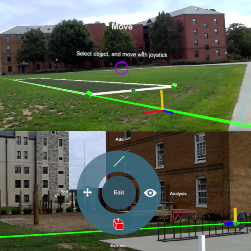
In recent years, researchers have proposed many mixed reality applications aimed at solving or simplifying problems in the architecture domain. Although designing 3D models digitally is not an unexplored topic, modifying existing methods to fit 3D user interfaces still provides challenges such as maintaining high accuracy while working with more degrees of freedom. For instance, defining a full-scale building model in outdoors using AR (called situated modeling) may require at-a-distance interaction, since navigation may not be easy to perform. We may also need point marking techniques to estimate 3D coordinates, because often a geometric model of the environment is inaccurate or unavailable, notably at large distances.
In this work we investigate the impacts of the precision of model-free point marking techniques on the situated modeling of large structures, in terms of accuracy and ease of use. We compared two existing point marking techniques in the context of an AR modeling application that derives shapes from initially obtained points. We contribute to the field by validating the findings of Lages et al. (2019), by showing that these findings hold with a more ecologically valid task; and by demonstrating empirically how small errors in marked points can lead to larger errors in derived points.
Our results show that high precision of the point marking technique is essential to ensure the accuracy of the model, while also indirectly affecting the usability and usefulness of the system. In domains where the correctness of the model is critical for user understanding and judgment, higher precision is needed to ensure the usefulness of the application. While our data demonstrate better performance with VectorCloud, it also pointed to some possible usability issues. A technique that maintains high precision but is less cumbersome on the user should be explored.
Conferences
Evaluating the Impact of Point Marking Precision on Situated Modeling Performance Conference
Symposium on Spatial User Interaction, 2019.

